
L.A.V.A.
EUROPE
Siete días entre volcanes, 27 trabajadores juveniles, 12 países. Todo lo que creamos juntos – una exposición, una experiencia de realidad virtual, juegos y herramientas educativas – está aquí, libre para usar e imprimir.

Lo que creamos juntos
Todos los resultados son abiertos: imprime la exposición, juega en tu organización, vive una erupción con unas gafas de VR o con el móvil. Pulsa en cada tarjeta.
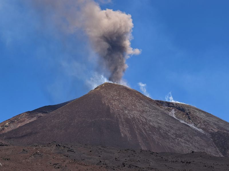 InteractivoExposición Volcán y CulturaUn volcán por país en un mapa de Europa clicable: ficha técnica, leyendas y tradiciones. En inglés y español.
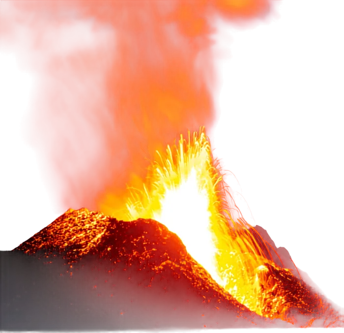
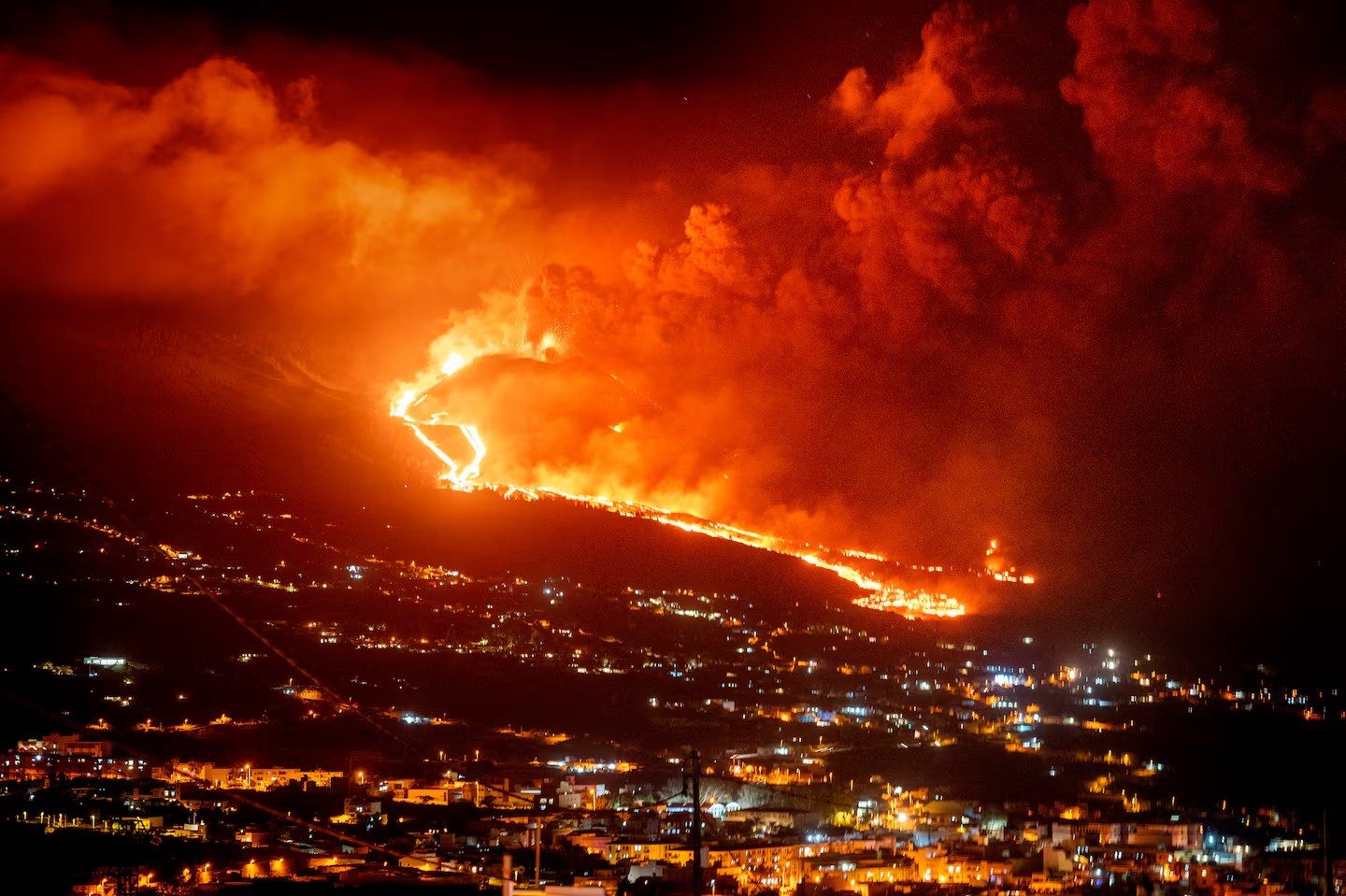 Realidad virtualLAVA VR · cuatro erupcionesEscenarios 360° paso a paso: Guía de Isora, Teide explosivo, Timanfaya 1730 y el monte Fuji.
 InteractivoVolcanes de TenerifeLas siete erupciones históricas de la isla en un mapa interactivo.
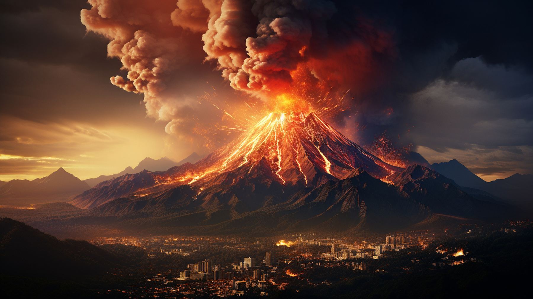 Juego de cartasVolcano TrumpsCuarenta volcanes en un juego de cartas de bazas, en inglés y español, con dado digital. Imprímelo, recórtalo y juega.
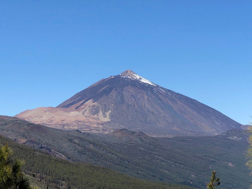 ImprimibleExposición imprimibleFotos A3 y fichas A4 de información + cultura, listas para la imprenta.
 FotosLa semana en imágenesEl grupo, los volcanes y los atardeceres: las mejores fotos del curso.
Volcán y Cultura
Cada país socio eligió un volcán (o, en el caso de Polonia, una montaña de leyenda) e investigó dos cosas: la geología y las historias que la gente construyó a su alrededor.
El resultado es una exposición itinerante de 12 estaciones – una foto, una ficha del volcán y una ficha cultural con los mitos, santos, dragones y gigantes que explican el fuego – y esta versión digital: pulsa un país, abre la ficha técnica o la ficha cultural. Disponible en inglés y español (botón EN/ES).
Volcano & Culture
One volcano for each of the 12 countries of the course. Click a country on the map to meet its volcano, read the fact sheet and discover the legends and traditions that grew around it.

Truco: cada país tiene su propio enlace (…#italy): imprímelo como código QR junto a cada estación impresa.
LAVA VR · vive una erupción paso a paso
¿Qué harías en el nivel amarillo? ¿Y cuando la fuente de lava se abre sobre tu pueblo? Cuatro escenarios 360° construidos con fotografías reales y erupciones reales, con marcadores que encontrar y decisiones que tomar.
Escenario 1
Guía de Isora
Erupción estromboliana en la dorsal sobre el pueblo: de un día normal a la lava en la plaza.
Escenario 2
Teide explosivo
Columna pliniana, flujos piroclásticos y ceniza sobre el sur de Tenerife.
Escenario 3
Timanfaya 1730
La erupción de seis años que sepultó un cuarto de Lanzarote, contada por sus testigos.
Escenario 4
Monte Fuji
Una erupción gigante a 100 km de Tokio – y el tsunami que la sigue.
Funciona en cualquier pantalla (arrastra para mirar), en el móvil (mueve el teléfono) y en gafas de VR (Meta Quest: abre el enlace a pantalla completa en el navegador de las gafas y pulsa VR).
Las siete erupciones históricas de Tenerife
De Siete Fuentes (1704) al Chinyero (1909): dónde, cuándo y cómo entró en erupción la isla en los últimos 300 años. Explóralo en el mapa y descarga las fichas.
Volcano Trumps
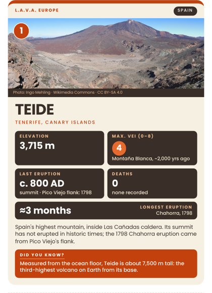
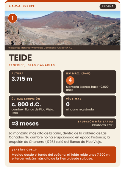
Cuarenta volcanes de los países socios y los grandes volcanes del mundo, cada uno en una carta: altura, IEV máximo, última erupción, víctimas y erupción más larga. Tira el dado, lee el dato, el más alto gana la baza – y mientras juegas aprendes qué volcán es cada uno.
Dos barajas, las mismas cartas: inglés y español. Cada PDF tiene las 10 hojas de anversos y, como última página, el reverso: imprime las 10 hojas, luego imprime la página 11 diez veces por detrás (o pégala), recorta por las líneas discontinuas (4 cartas por hoja, A6) y a jugar. De 2 a 6 jugadores, a partir de 10 años.
Baraja en inglés
40 cartas · 10 hojas A4 + el reverso · reglas e índice de cartas en inglés.
Baraja en español
40 cartas · 10 hojas A4 + el reverso · reglas e índice de cartas en español.
Dado digital
¿Con qué dato batallamos? Tira el dado 3D en el móvil o en el proyector: elige altura, IEV, erupción más larga, víctimas o última erupción en cada ronda.
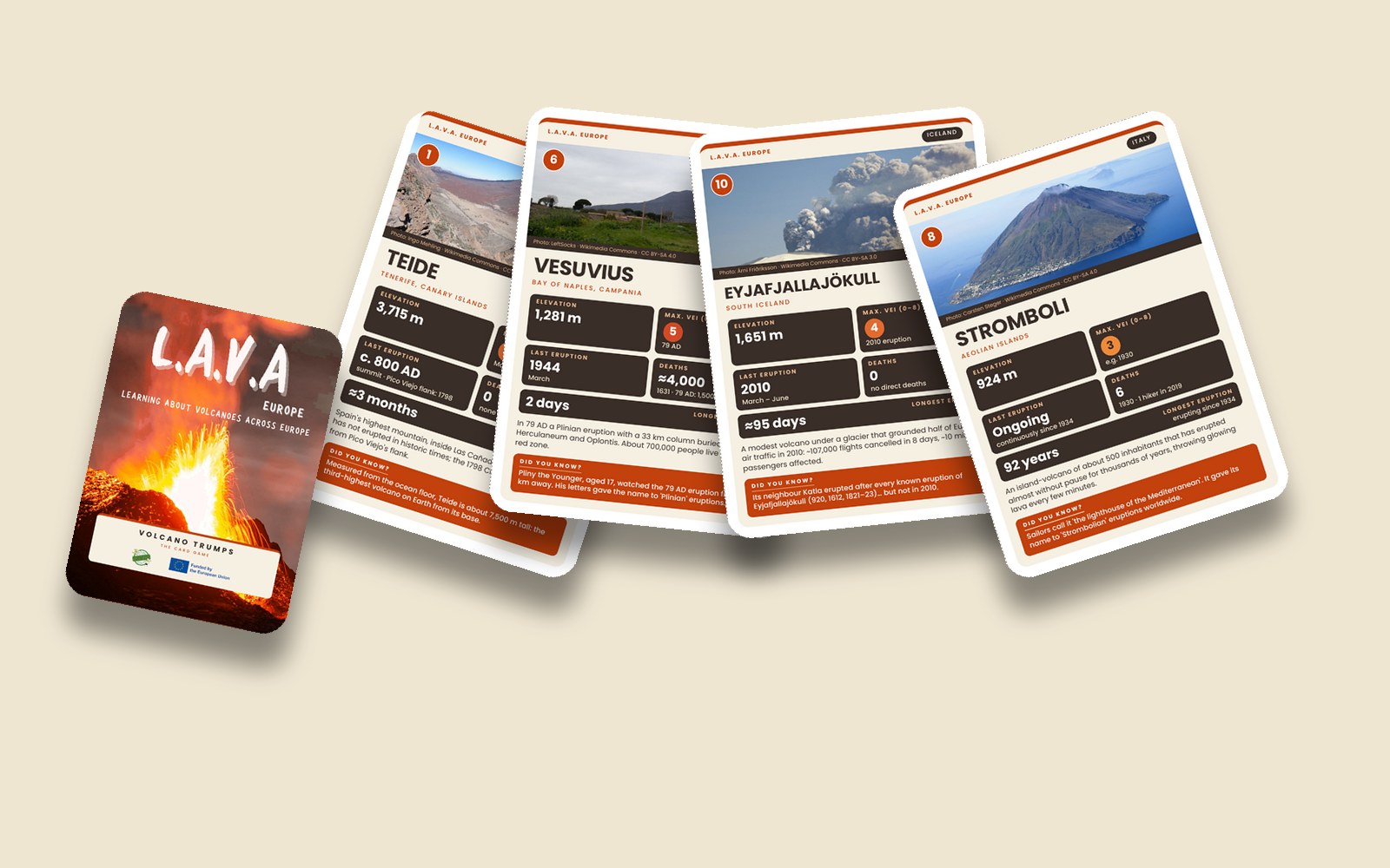
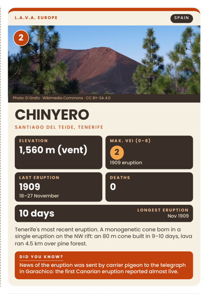
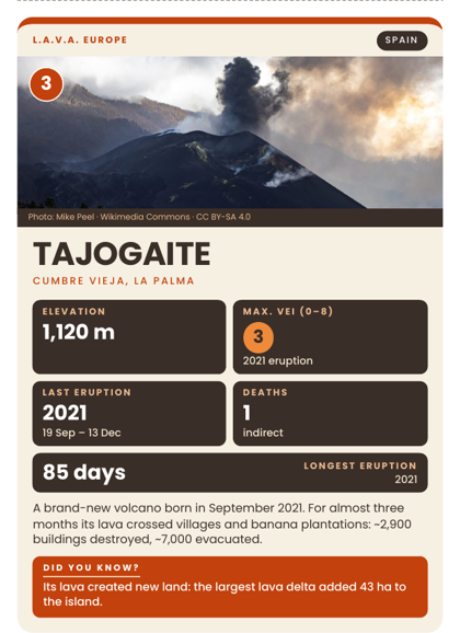
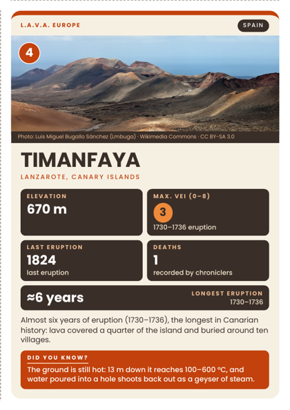
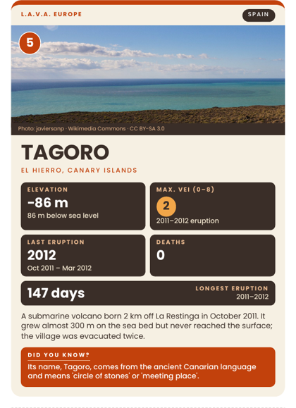
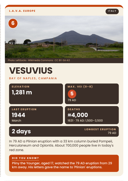
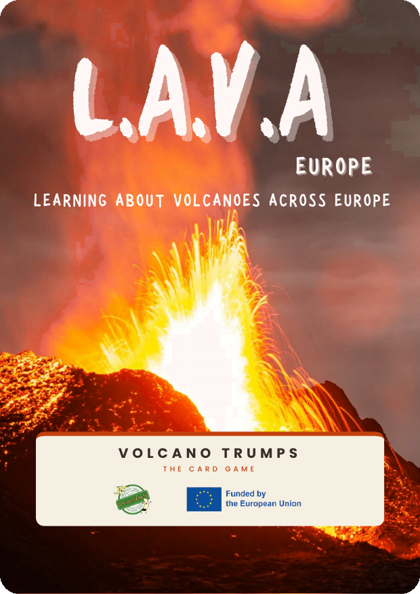
Imprime al 100 % en cartulina de 250–300 g. Tamaño de carta A6 (105 × 148 mm), 4 por hoja.
Aprender jugando
Juego de rol Riesgo Volcánico
Familias, agricultores, personal de hotel, un alcalde… cada tarjeta de rol tiene una situación y un dilema para cada nivel de alerta. Para 12–25 personas en dos escenarios (simple y explosivo); los escenarios de VR son su apoyo visual.
Cartel QR de la experiencia VR
Imprímelo junto a la exposición o en la entrada de tu evento: los visitantes lo escanean con el móvil y recorren las erupciones por su cuenta.
Misión en Guía de Isora
Una búsqueda del tesoro volcánica por el casco del pueblo: pistas, códigos QR y retos para descubrir cómo vive el pueblo con su volcán. Adáptala a tu municipio.
La exposición, lista para la imprenta
Todos los archivos son libres para descargar, imprimir y reutilizar con fines educativos (conserva los créditos, por favor).
| Paneles fotográficos A3 (12) 12 hojas A3 apaisadas con 3 mm de sangrado – una por estación. |
|
| Fichas de información + cultura (12) A4 apaisado: ficha del volcán + ficha cultural + imagen cultural para recortar. |
|
| Fichas en español (14) Hojas de información de 14 volcanes, A4 apaisado. |
PDF 1,1 MB |
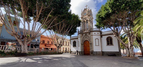
Siete días, doce países, un volcán
El grupo en el Teide, los bosques del norte, las playas de El Médano, noches bajo las estrellas. Pulsa una foto para verla en grande.
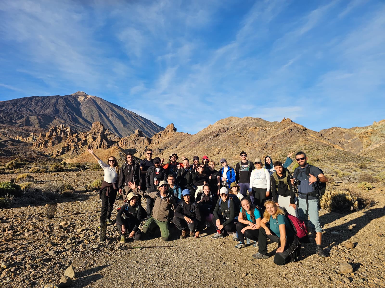 Todo el grupo en el Parque Nacional del Teide
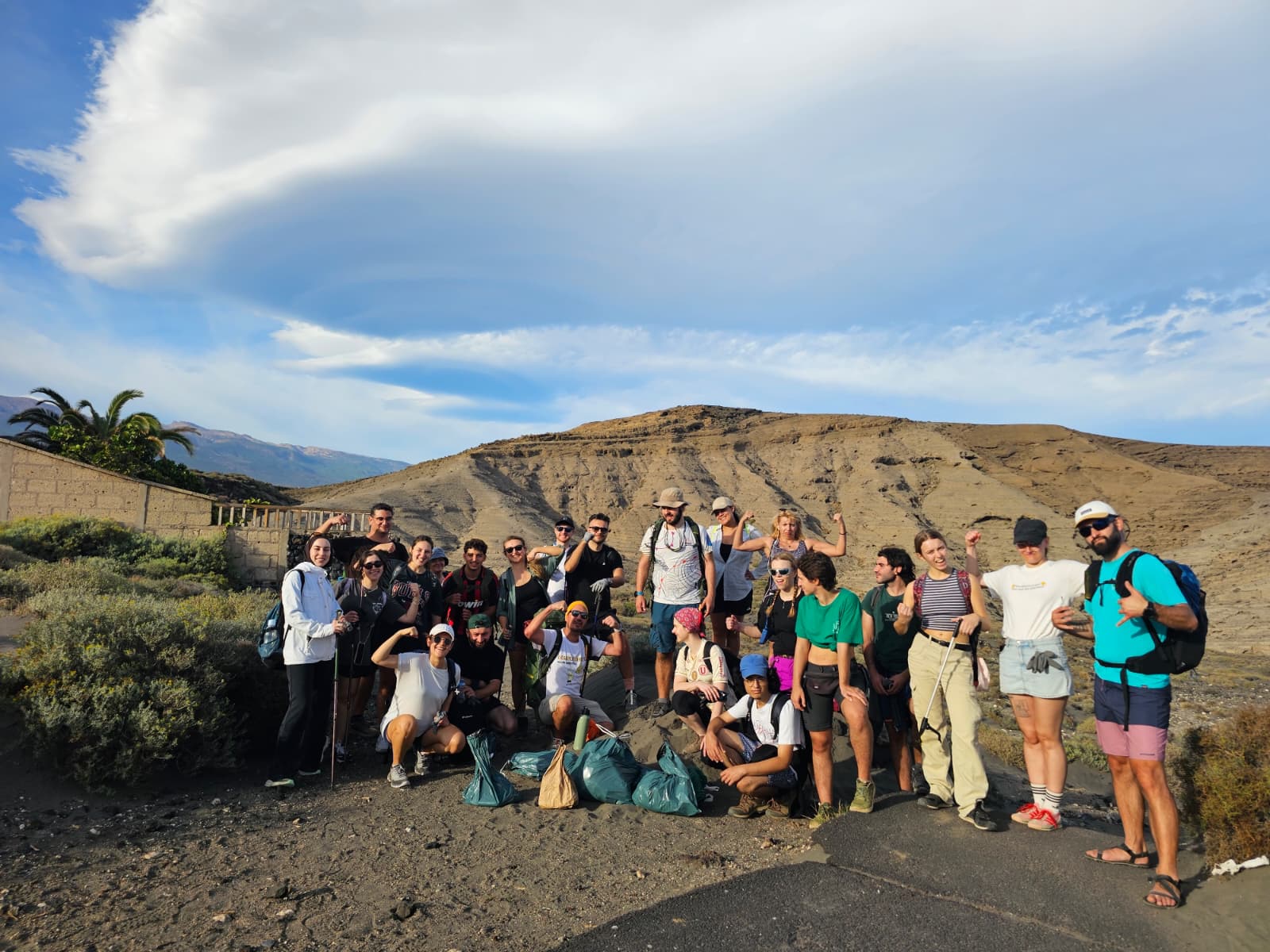 Montaña Pelada, El Médano
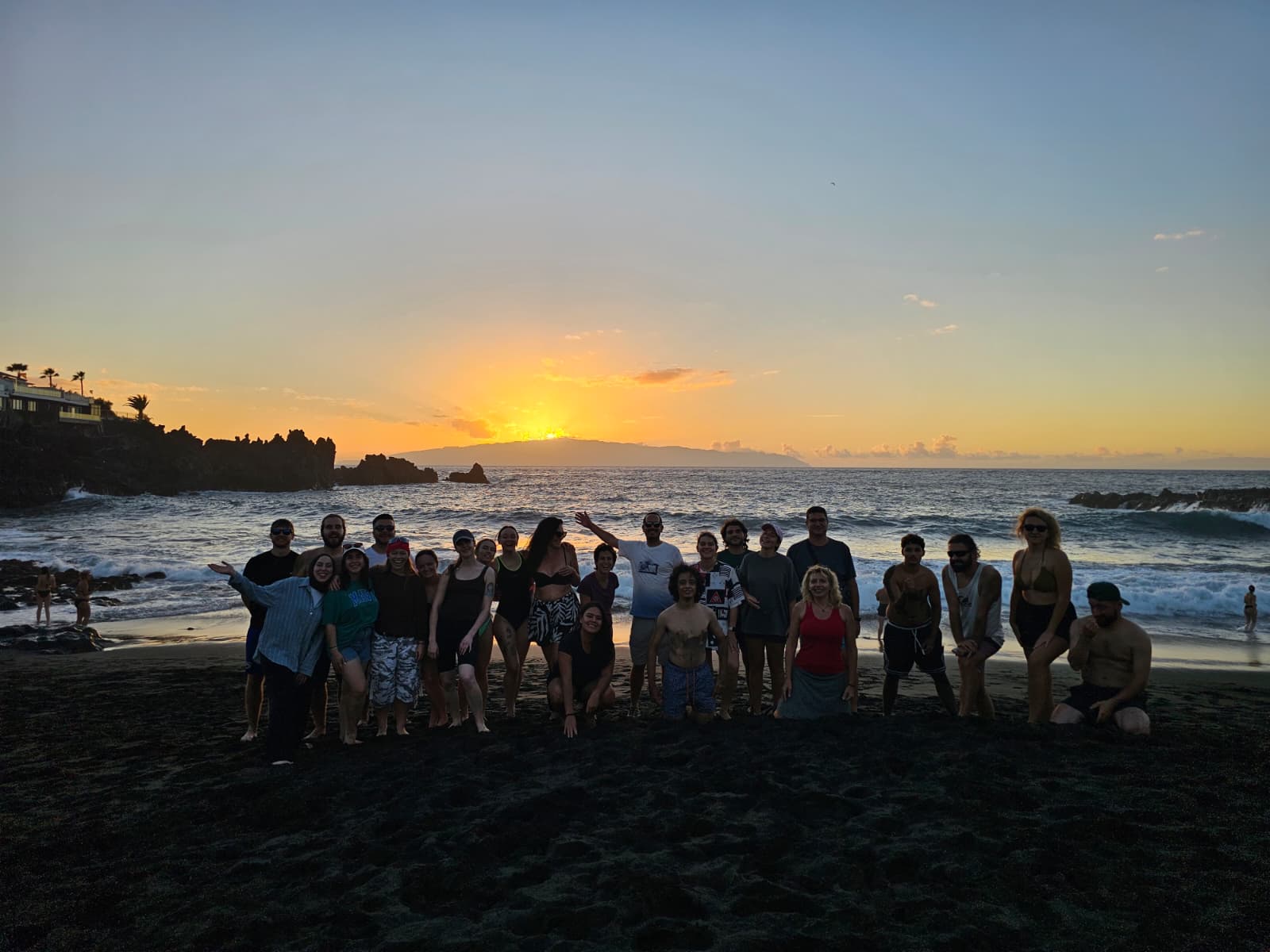 Atardecer tras un día de volcanes
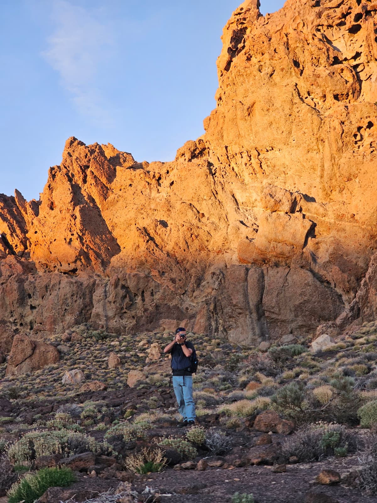 Roques de García al amanecer
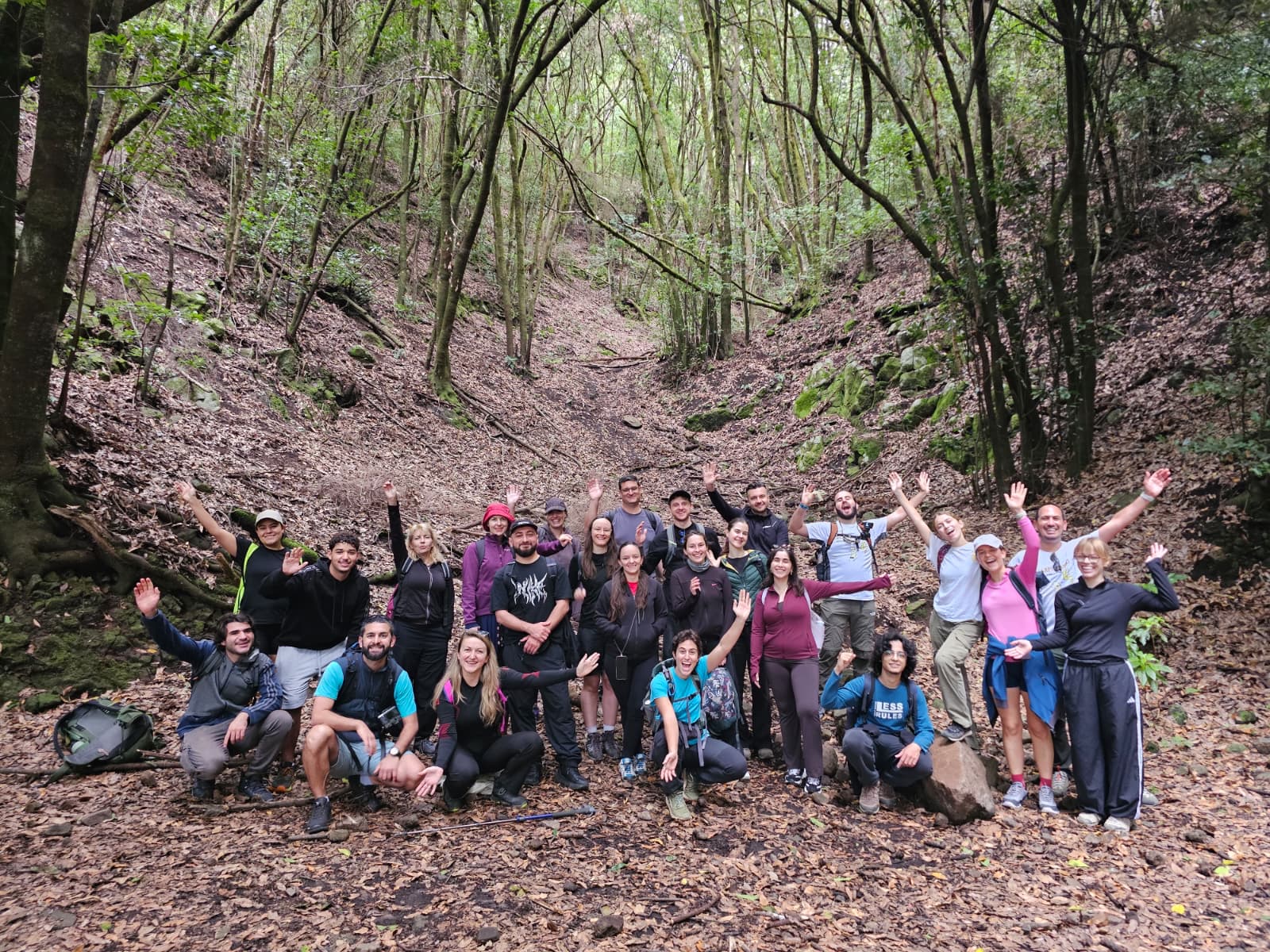 En el bosque
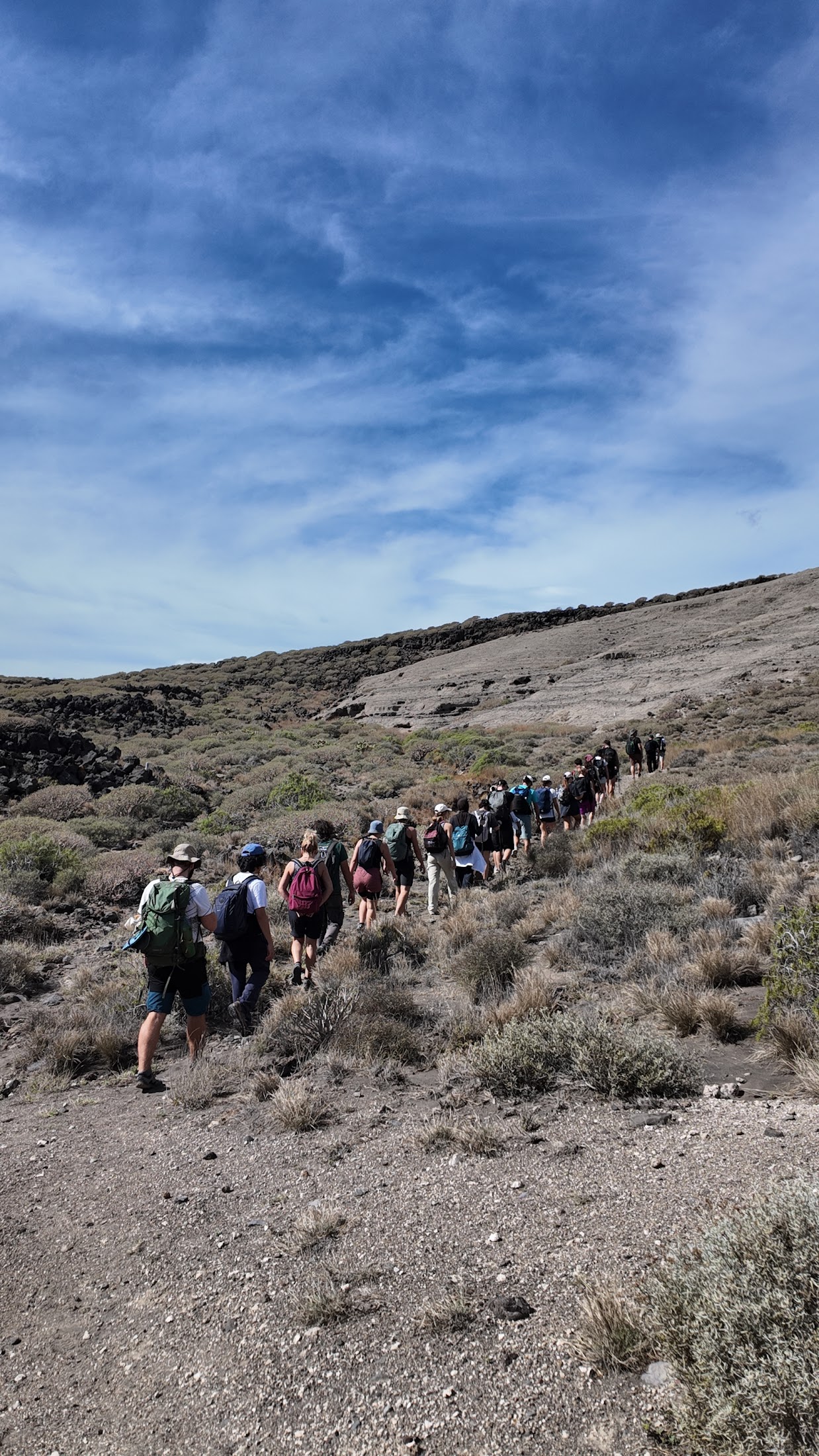 Caminando el volcán
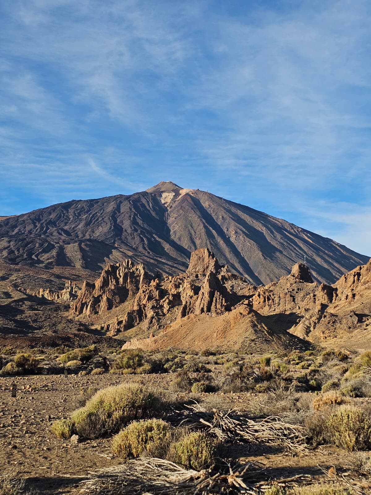 El Teide desde los Roques de García
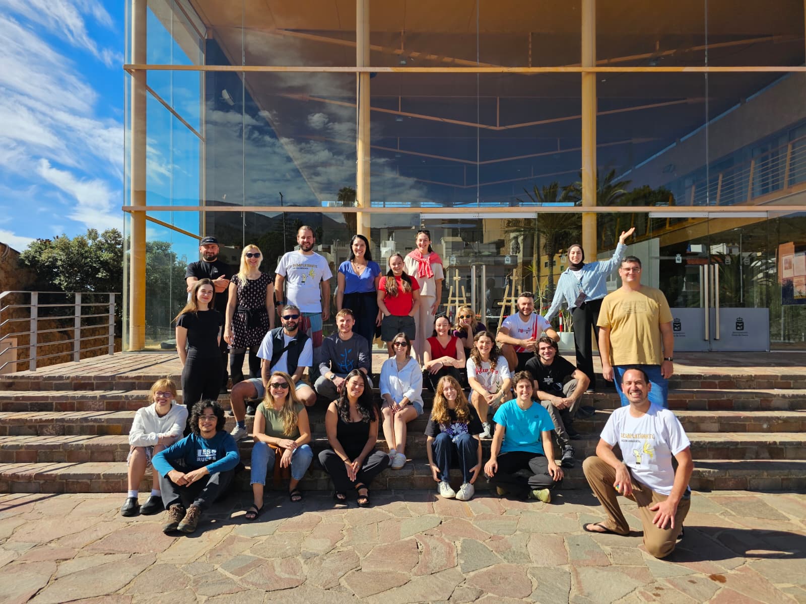 El grupo en la sede
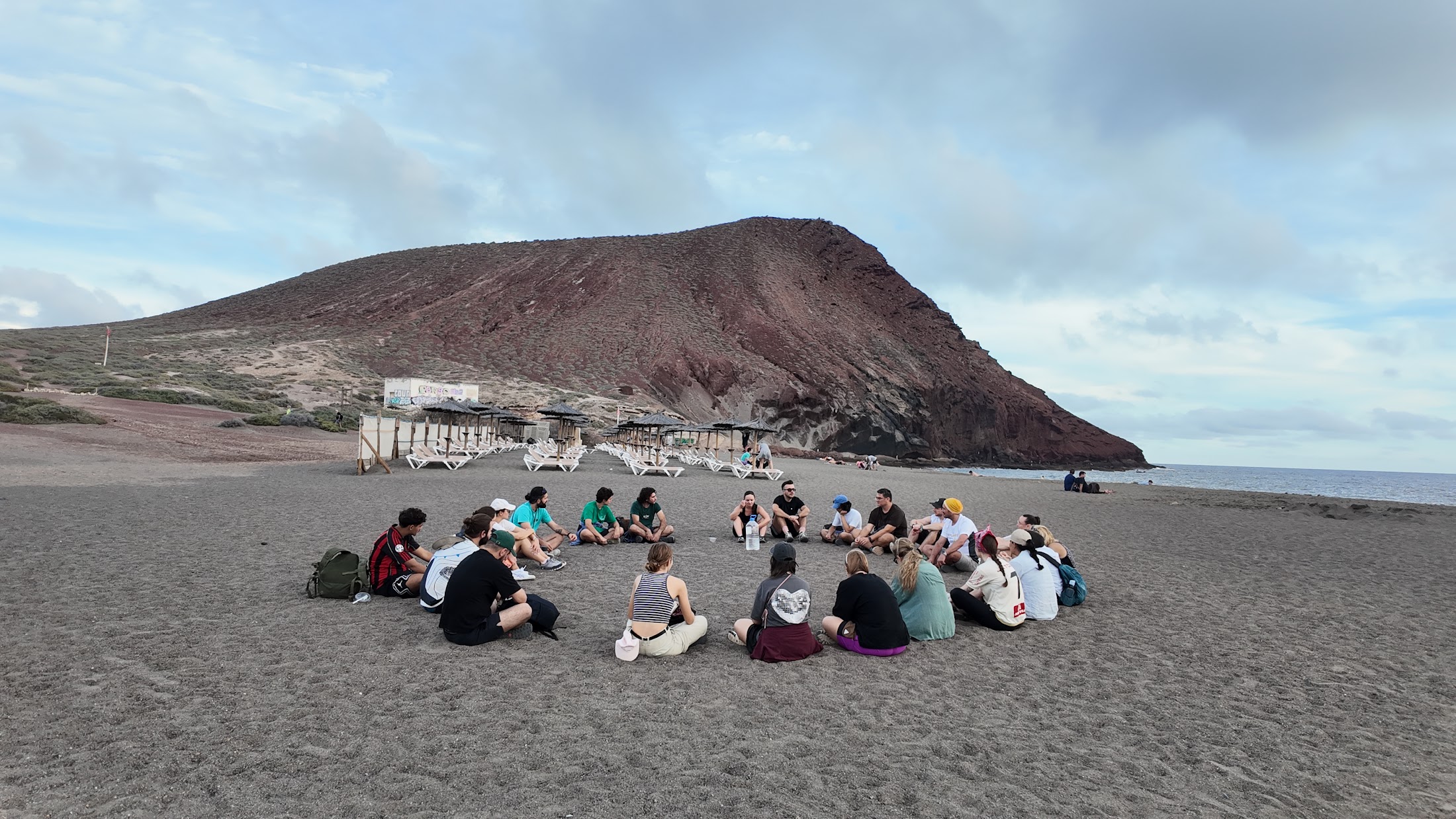 Montaña Roja
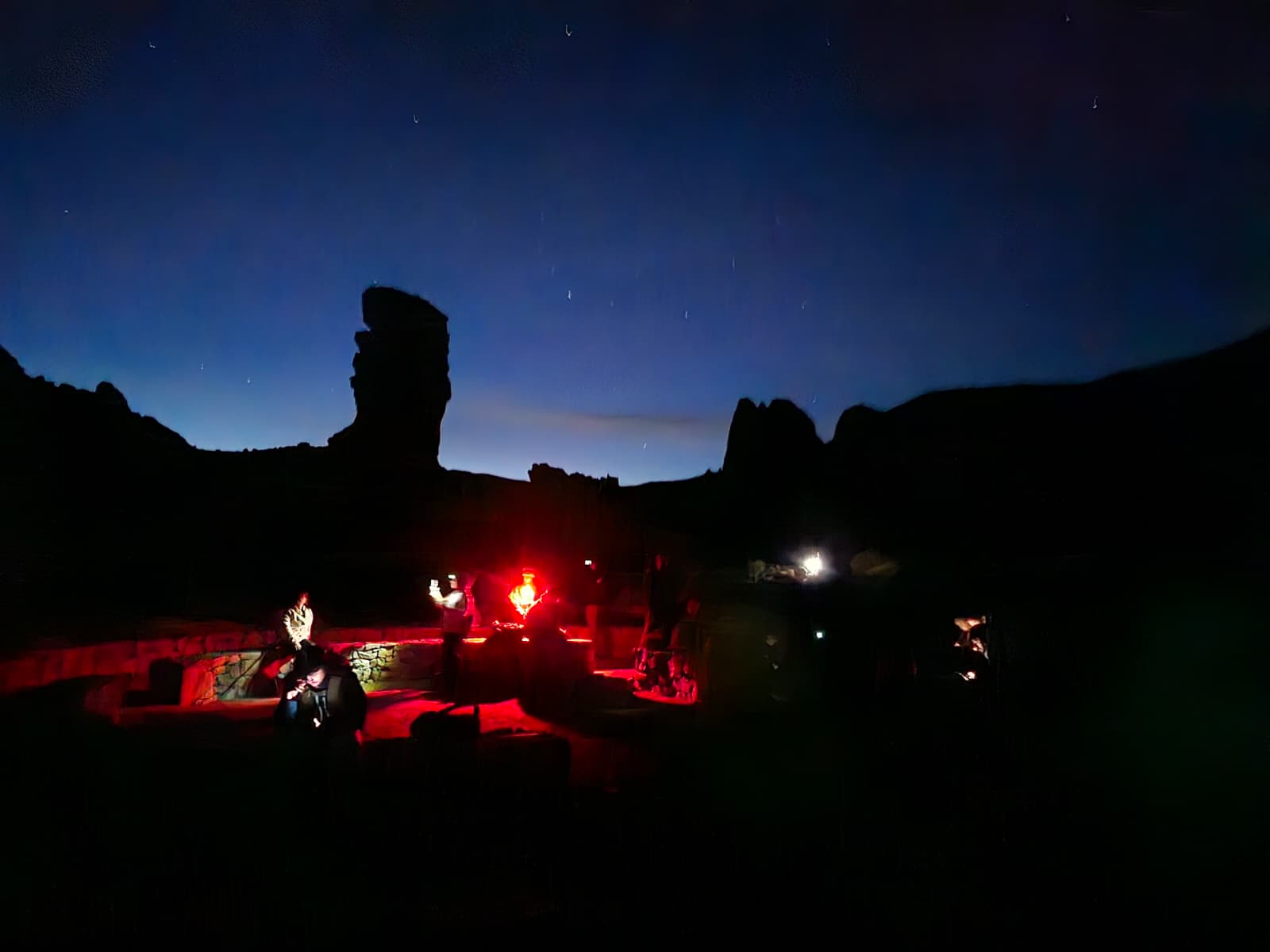 Noche en los Roques
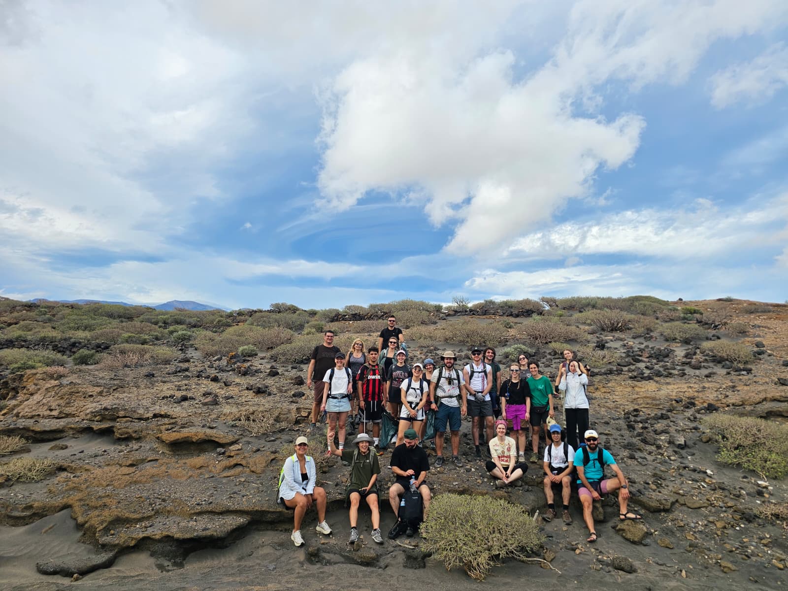 Campo de lava, El Médano
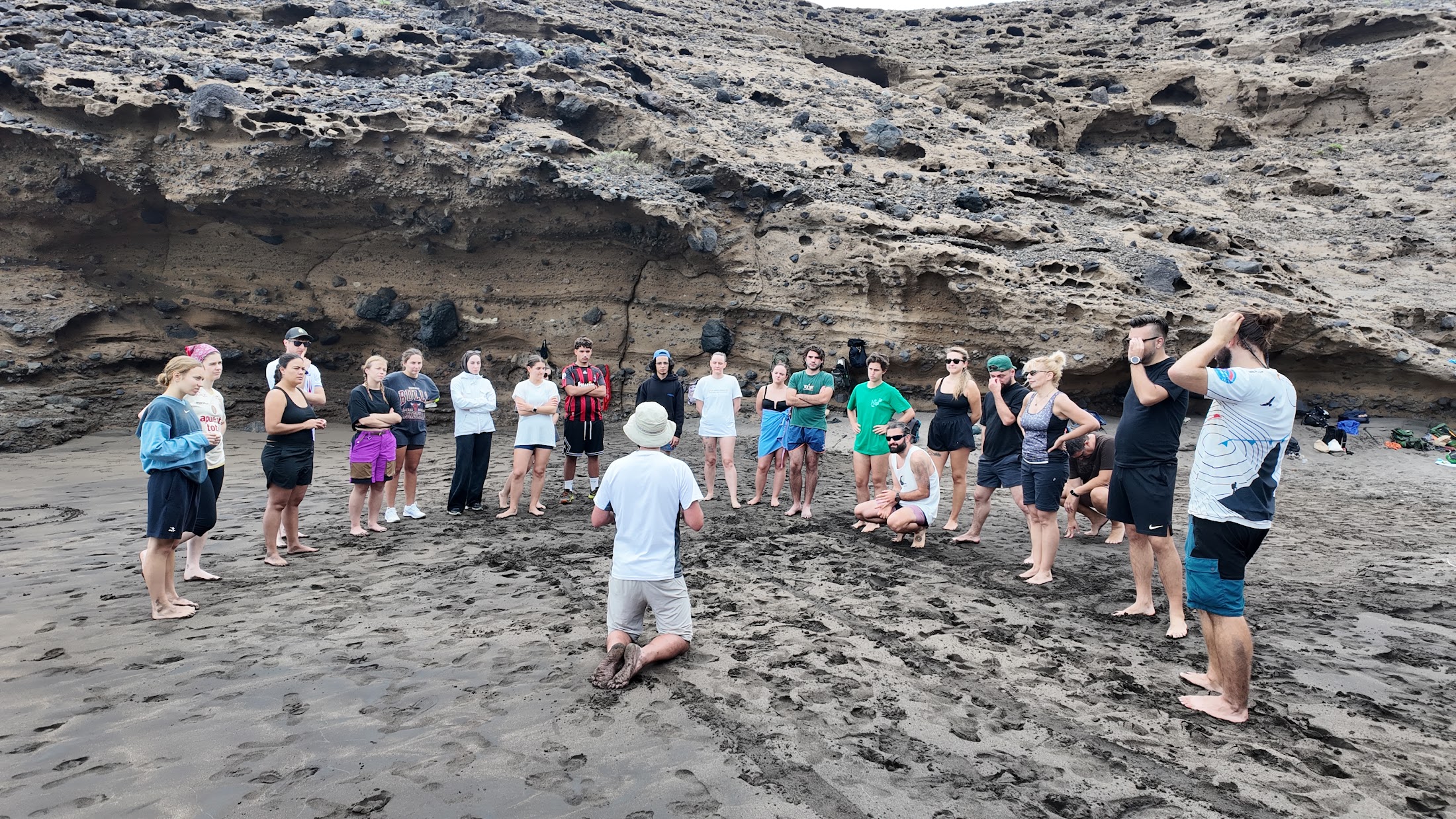 Un círculo en la playa
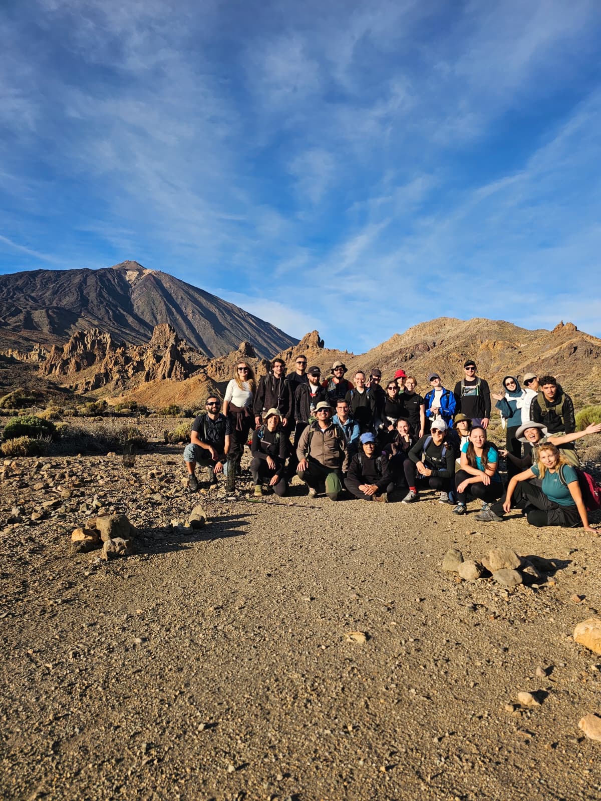 Retrato de grupo
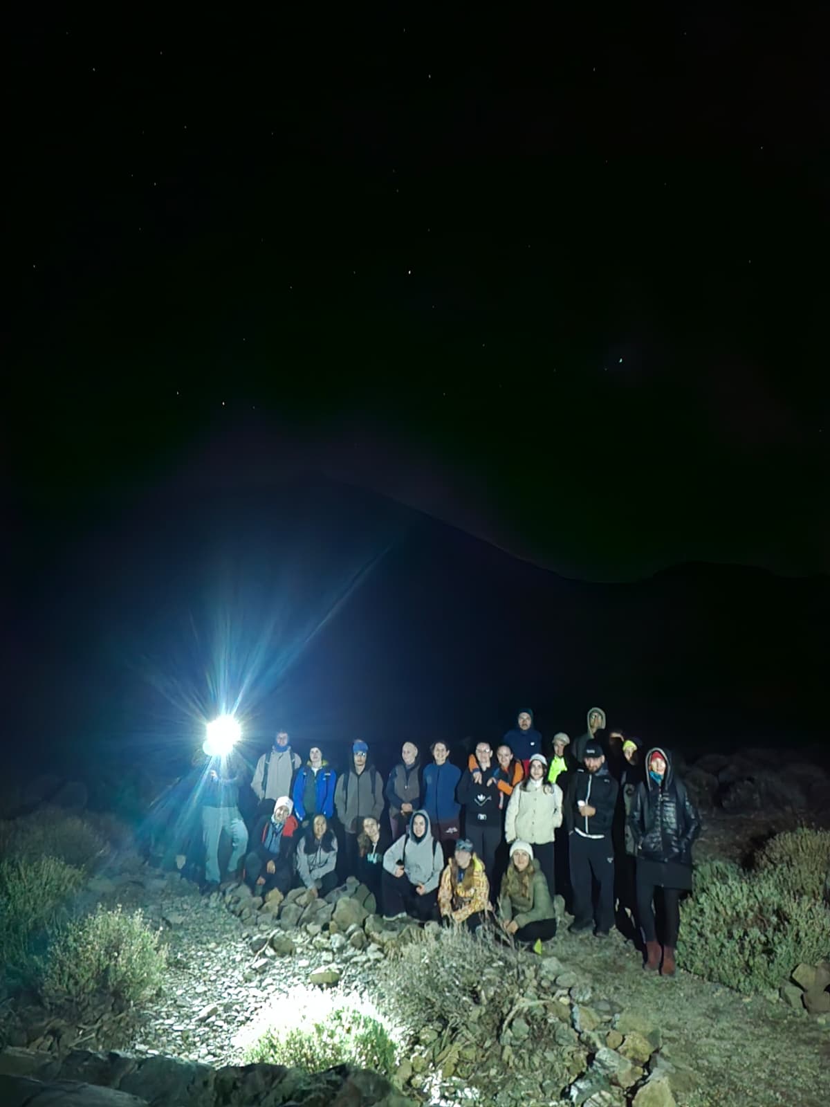 Bajo las estrellas
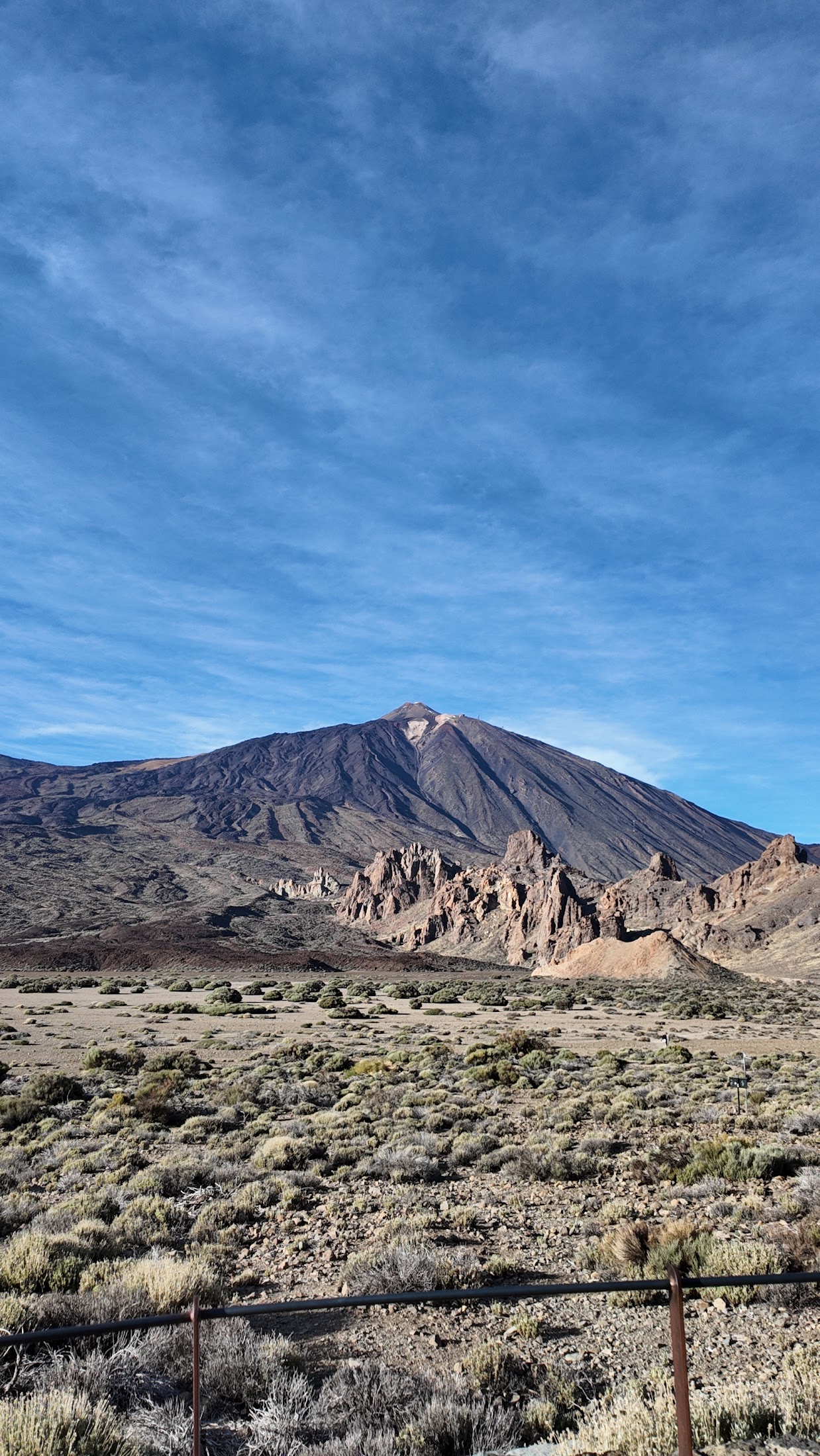 El Teide
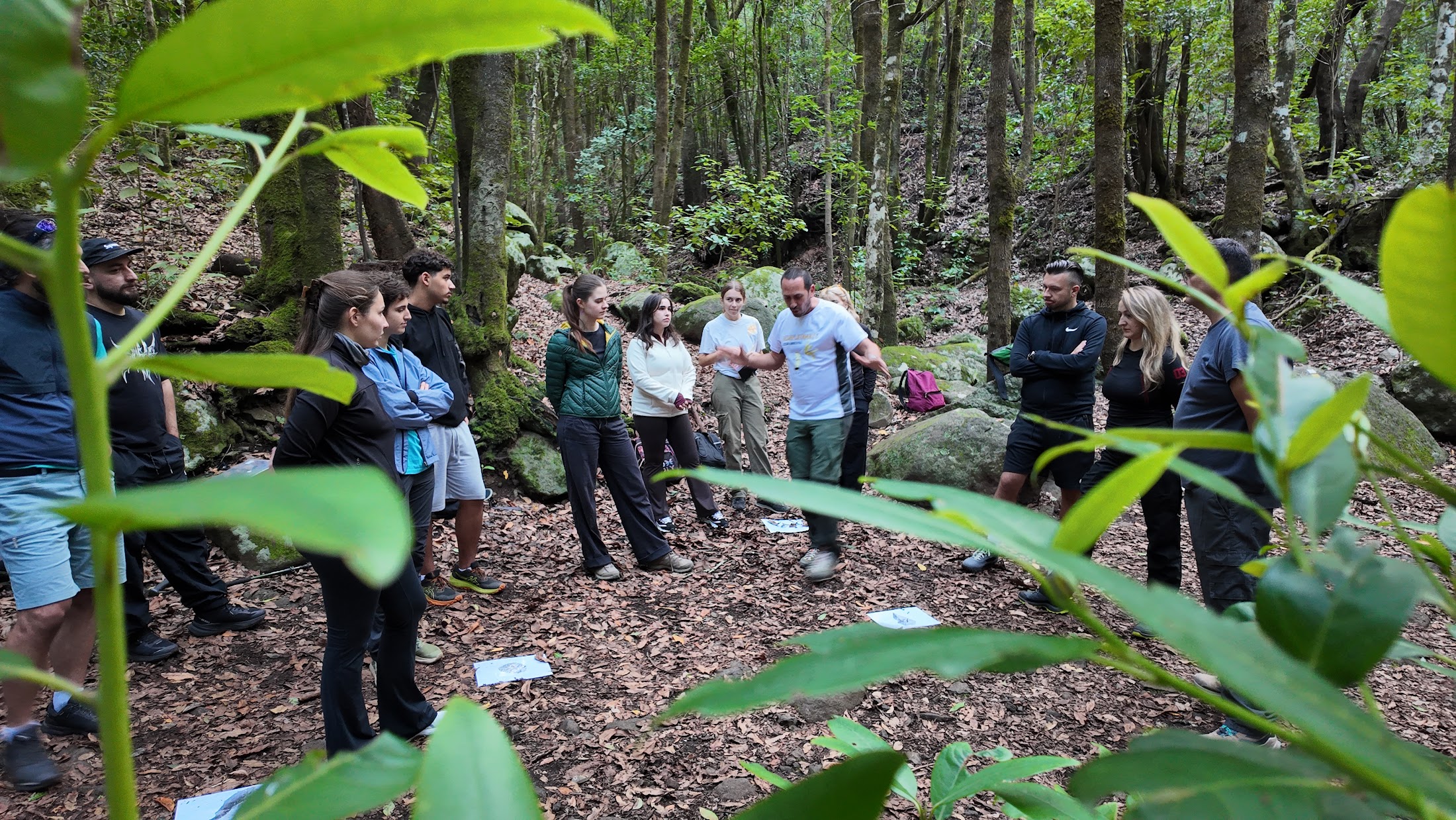 Sesión en el bosque
Doce países, una Europa volcánica
Después de Tenerife, cada socio organiza su propia actividad: una charla, un taller, una salida de campo o una versión local de la exposición. Así viajan los resultados.
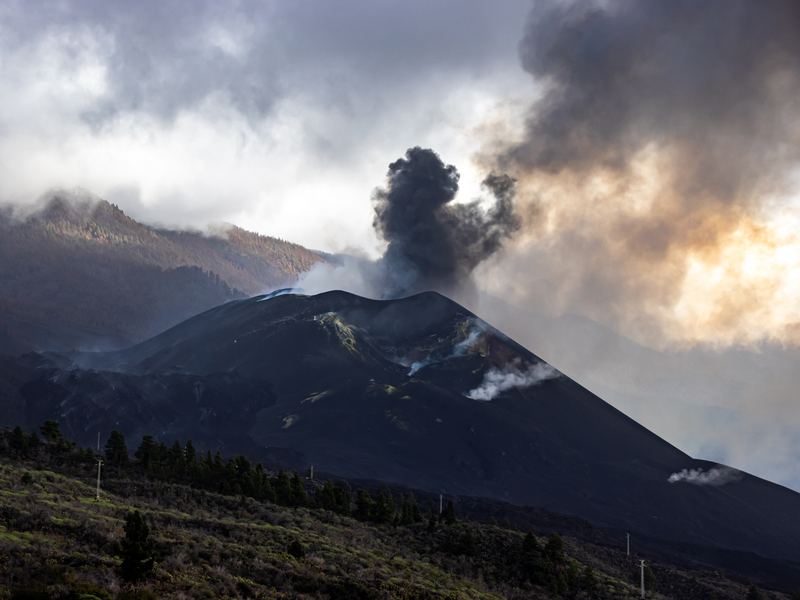
Tajogaite, La PalmaSpain
Desaplatánate · host organisation
Teide · Chinyero · Tajogaite · Timanfaya · Tagoro
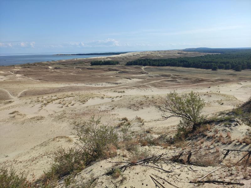 Curonian Spit dunes
Lithuania
VšĮ uMunthu
Curonian Spit dunes
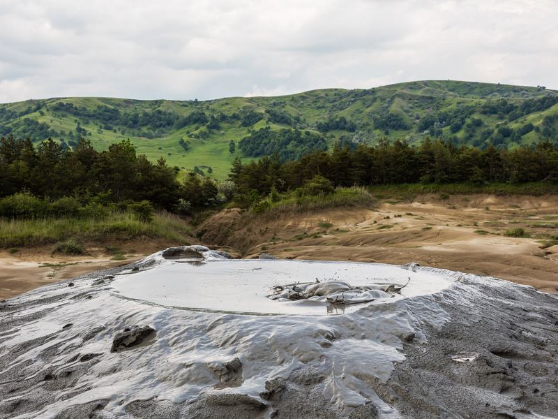 Berca mud volcanoes
Romania
Asociația Gutenberg
Ciomadul · Berca mud volcanoes
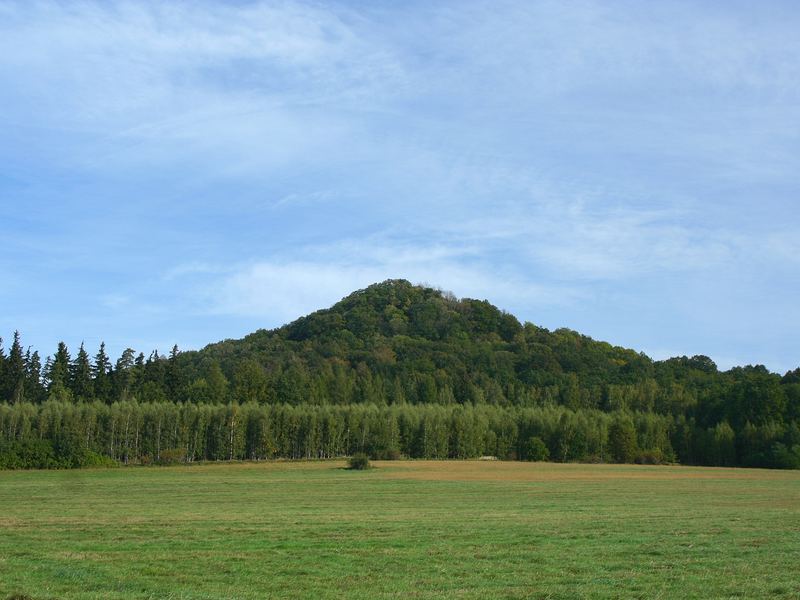 Ostrzyca
Poland
EQuality
Ostrzyca · St. Anne's Mountain
Etna, SicilyItaly
ASNU aps
Vesuvius · Etna · Stromboli · Campi Flegrei
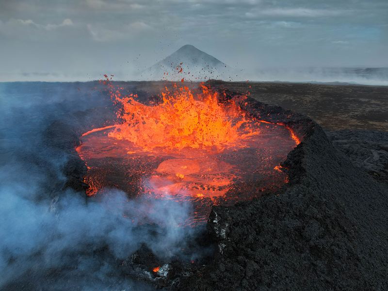 Reykjanes Fires
Iceland
Worldwide Friends – Veraldarvinir
Eyjafjallajökull · Hekla · Laki · Reykjanes
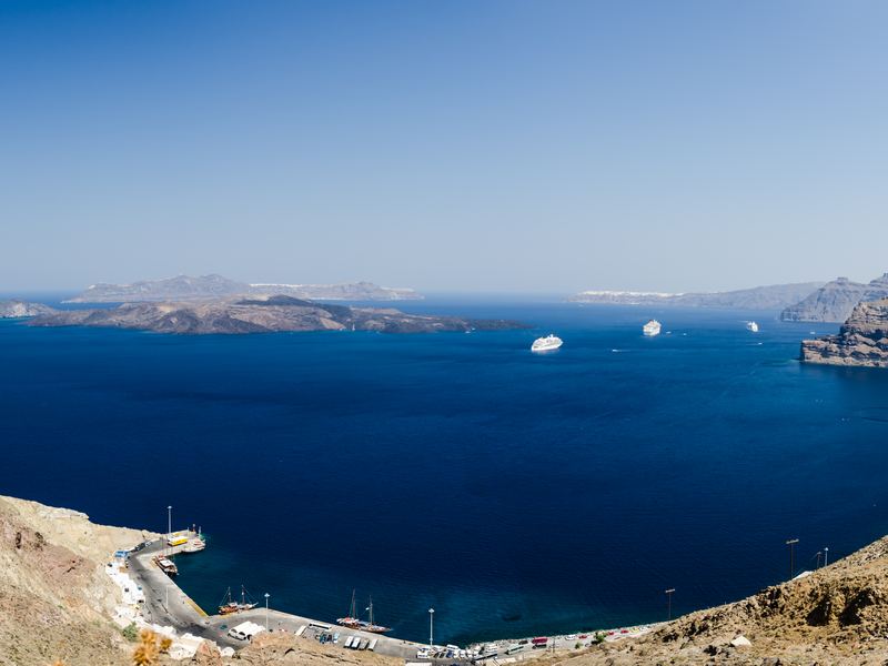
SantoriniGreece
Villagers of Greece
Santorini · Nisyros
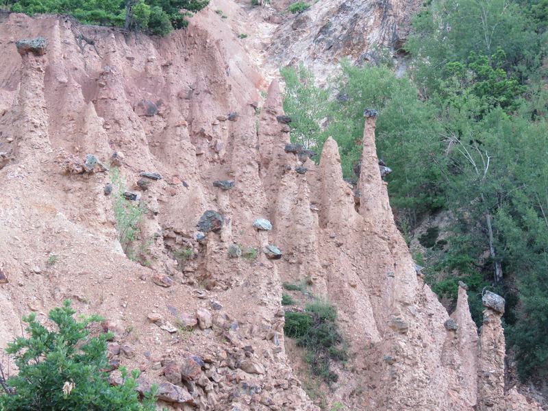 Đavolja Varoš
Serbia
POENTA
Đavolja Varoš · Uvac Canyon
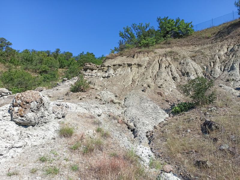 Kuklica
North Macedonia
Aurora Network Bitola
Kratovo · Kuklica
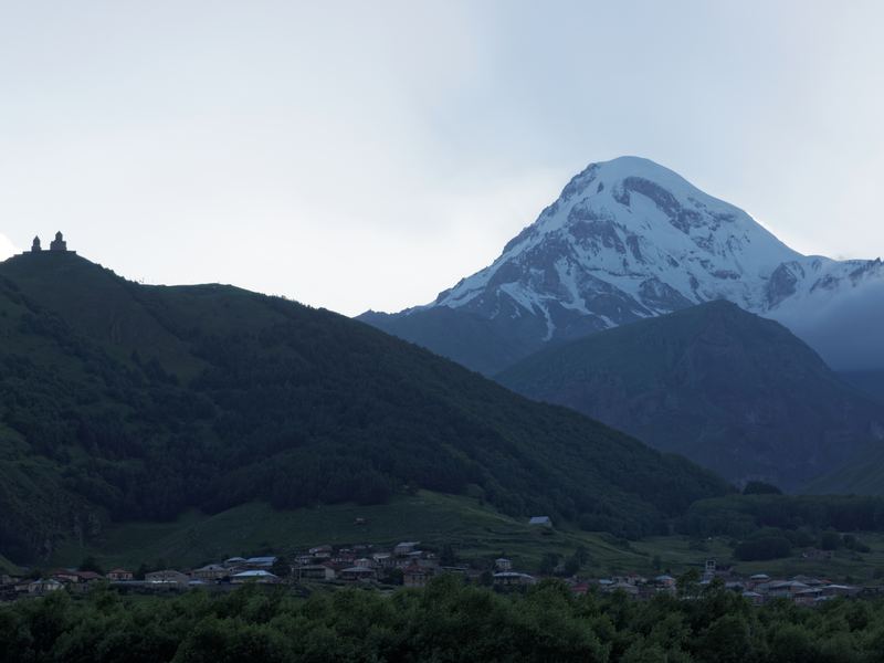 Mount Kazbek
Georgia
Women International Network
Mount Kazbek · Didi Abuli
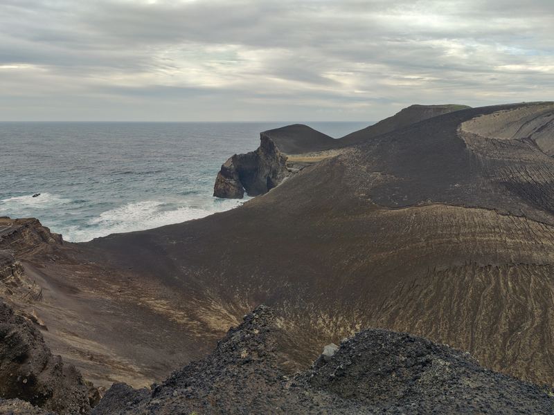 Capelinhos, Azores
Portugal
Bioliving
Capelinhos · Mount Pico · Sete Cidades
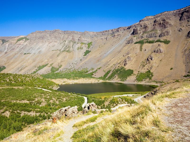 Nemrut Dağı
Turkey
Association of Natural and Historical Heritages Protection
Mount Ararat · Erciyes · Nemrut · Hasan Dağı
Contacto
¡Úsalo, compártelo!
Organización local: Javier González – Asociación Desaplatánate por un Turismo Social y Sostenible. Escríbenos si usas los materiales: nos encanta saber adónde viajan los volcanes.
Proyecto Erasmus+ 2025-1-ES02-KA153-YOU-000303357 · Curso de formación L.A.V.A. Europe, Tenerife, 4–10 de noviembre de 2026. Financiado por la Unión Europea. Las opiniones y puntos de vista expresados solo comprometen a su(s) autor(es) y no reflejan necesariamente los de la Unión Europea ni los de la Agencia Ejecutiva Europea de Educación y Cultura (EACEA). Ni la Unión Europea ni la autoridad otorgante pueden ser considerados responsables de ellos.
Fotos: equipo L.A.V.A. Europe y Wikimedia Commons (licencias libres). Exposición y panoramas VR: ver los créditos dentro de cada recurso. Datos del mapa: Natural Earth.
L.A.V.A.
EUROPE
Seven days among volcanoes, 27 youth workers, 12 countries. Everything we created together – an exhibition, a virtual-reality experience, games and teaching tools – is here, free to use and to print.
What we created together
Every result is open: print the exhibition, play the games in your organisation, walk through an eruption with a VR headset or a phone. Click on each card.
InteractiveVolcano & Culture exhibitionOne volcano per country on a clickable map of Europe: fact sheet, legends and traditions. In English and Spanish. Virtual realityLAVA VR · four eruptionsStep-by-step 360° scenarios: Guía de Isora, explosive Teide, Timanfaya 1730 and Mount Fuji. InteractiveVolcanoes of TenerifeThe seven historic eruptions of the island on an interactive map. Card gameVolcano TrumpsForty volcanoes in a trick-taking card game, in English and Spanish, with a digital die. Print it, cut it, play it. PrintPrintable exhibitionA3 photos and A4 info + culture sheets, ready for the printer. PhotosThe week in picturesThe group, the volcanoes and the sunsets: the best photos of the course. Volcano & Culture
Each partner country chose one volcano (or, for Poland, a mountain of legend) and researched two things: the geology and the stories people built around it.
The result is a travelling exhibition of 12 stations – a photo, a volcano fact sheet and a culture card with the myths, saints, dragons and giants that explain the fire – and this digital version: click a country, open the fact sheet or the culture card. Available in English and Spanish (EN/ES button).
Volcano & Culture
One volcano for each of the 12 countries of the course. Click a country on the map to meet its volcano, read the fact sheet and discover the legends and traditions that grew around it.
Tip: every country has its own link (…#italy) – print it as a QR code next to each printed station.
LAVA VR · live an eruption step by step
What would you do at the yellow level? And when the lava fountain opens over your village? Four 360° scenarios built from real photographs and real eruptions, with markers to find and decisions to take.
Scenario 1
Guía de Isora
Strombolian eruption on the ridge above the town, from a normal day to lava in the square.
Scenario 2
Explosive Teide
Plinian column, pyroclastic flows and ash on the south of Tenerife.
Scenario 3
Timanfaya 1730
The six-year eruption that buried a quarter of Lanzarote, told by its witnesses.
Scenario 4
Mount Fuji
A giant eruption 100 km from Tokyo – and the tsunami that follows.
Works on any screen (drag to look around), on phones (move the phone) and in VR headsets (Meta Quest: open the full-screen link in the headset browser and press VR).
The seven historic eruptions of Tenerife
From Siete Fuentes (1704) to Chinyero (1909): where, when and how the island erupted in the last 300 years. Explore it on the map – and download the fact sheets.
Volcano Trumps
Forty volcanoes of the partner countries and the great volcanoes of the world, each on a card: elevation, maximum VEI, last eruption, deaths and longest eruption. Roll the die, read the stat, the highest wins the trick – and while you play, you learn which volcano is which.
Two decks, same cards: English and Spanish. Each PDF has the 10 sheets of fronts and, as the last page, the back: print the 10 sheets, then print page 11 ten times on the reverse (or glue it), cut along the dashed lines (4 cards per sheet, A6) and play. Two to six players, from 10 years old.
English deck
40 cards · 10 A4 sheets + the back · rules and card index in English.
Spanish deck
40 cards · 10 A4 sheets + the back · rules and card index in Spanish.
Digital die
Which stat do we battle? Roll the 3D die on a phone or on the projector: it picks elevation, VEI, longest eruption, deaths or last eruption for each round.
Print at 100 % on 250–300 g card. Card size A6 (105 × 148 mm), 4 per sheet.
Learn by playing
Volcanic Risk role-play
Families, farmers, hotel staff, a mayor… each role card has a situation and a dilemma for each alert level. Run it with 12–25 people in two scenarios (simple and explosive); the VR scenarios are its visual support.
QR poster for the VR experience
Print it next to the exhibition or at the entrance of your event: visitors scan it with the phone and walk through the eruptions on their own.
Mission in Guía de Isora
A volcanic treasure hunt through the town centre: clues, QR codes and challenges to discover how the village lives with its volcano. Adapt it to your own town.
The exhibition, ready for the printer
All files are free to download, print and reuse for educational purposes (please keep the credits).
| A3 photo panels (12) 12 landscape A3 sheets with 3 mm bleed – one per station. |
|
| Info + culture sheets (12) A4 landscape: volcano card + culture card + culture image to cut out. |
|
| Fact sheets in Spanish (14) Information sheets of 14 volcanoes, A4 landscape. |
PDF 1,1 MB |
Seven days, twelve countries, one volcano
The group at Teide, the forests of the north, the beaches of El Médano, nights under the stars. Click a photo to see it large.
The whole group at Teide National ParkMontaña Pelada, El MédanoSunset after a day of volcanoesRoques de García at dawnIn the forestWalking the volcanoTeide from Roques de GarcíaThe group at the venueMontaña RojaNight at the RoquesLava field, El MédanoA circle on the beachGroup portraitUnder the starsTeideSession in the forestTwelve countries, one volcanic Europe
After Tenerife, every partner runs its own activity: a talk, a workshop, a field trip or a local version of the exhibition. This is where the results travel.
Tajogaite, La PalmaSpain
Desaplatánate · host organisation
Teide · Chinyero · Tajogaite · Timanfaya · Tagoro
Curonian Spit dunesLithuania
VšĮ uMunthu
Curonian Spit dunes
Berca mud volcanoesRomania
Asociația Gutenberg
Ciomadul · Berca mud volcanoes
OstrzycaPoland
EQuality
Ostrzyca · St. Anne's Mountain
Etna, SicilyItaly
ASNU aps
Vesuvius · Etna · Stromboli · Campi Flegrei
Reykjanes FiresIceland
Worldwide Friends – Veraldarvinir
Eyjafjallajökull · Hekla · Laki · Reykjanes
SantoriniGreece
Villagers of Greece
Santorini · Nisyros
Đavolja VarošSerbia
POENTA
Đavolja Varoš · Uvac Canyon
KuklicaNorth Macedonia
Aurora Network Bitola
Kratovo · Kuklica
Mount KazbekGeorgia
Women International Network
Mount Kazbek · Didi Abuli
Capelinhos, AzoresPortugal
Bioliving
Capelinhos · Mount Pico · Sete Cidades
Nemrut DağıTurkey
Association of Natural and Historical Heritages Protection
Mount Ararat · Erciyes · Nemrut · Hasan Dağı
Contact
Use it, share it!
Local organisation: Javier González – Asociación Desaplatánate por un Turismo Social y Sostenible. Write to us if you use the materials: we love to know where the volcanoes travel.
Erasmus+ project 2025-1-ES02-KA153-YOU-000303357 · Training Course L.A.V.A. Europe, Tenerife, 4–10 November 2026. Funded by the European Union. Views and opinions expressed are however those of the author(s) only and do not necessarily reflect those of the European Union or the European Education and Culture Executive Agency (EACEA). Neither the European Union nor the granting authority can be held responsible for them.
Photos: L.A.V.A. Europe team and Wikimedia Commons (free licences). Exhibition and VR panoramas: see the credits inside each resource. Map data: Natural Earth.